favicongohere

Please use the navigation menu at bottom the Page
MenuGoHere

Historic Aerial Photos from 1927
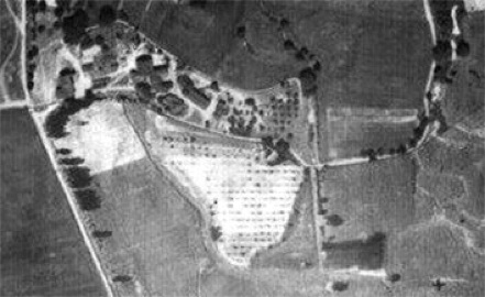
The above picture shows in the upper left the Reist Mill complex buildings which were still standing in 1927. In the center of the picture is an orchard on the site of the Cemetery and Chapel. To the lower right of the orchard is a large building.
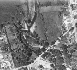
The picture at the right shows the area north of Glen Avenue which was the site of the Mill Pond.
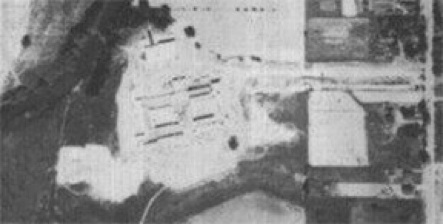
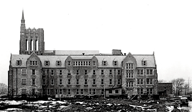
The picture above shows the St. Mary of the Angels Mother House under construction in 1927. Note the shadows from the walls of the Mother House which means the roof has not been constructed yet. Below is a picture showing the walls and roof of the Mother House completed.
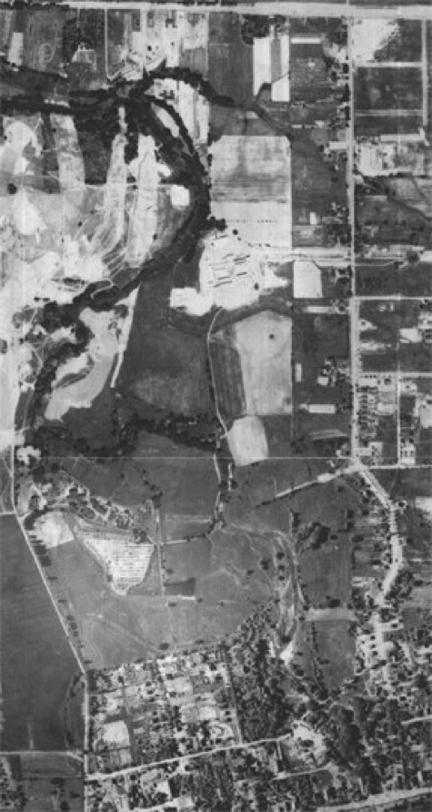
The Aerial Photo at the below was taken in 1927. This photo shows the Sisters of Saint Francis property as it existed at that time. At the upper left of the photo also shows the golf course at the Park Country Club under construction.


The Aerial Photo at the below was taken in 1927. This photo shows the Sisters of Saint Francis property as it existed at that time. At the upper left of the photo also shows the golf course at the Park Country Club under construction.


AmherstStatePark.org
AMCNT Web Design Copyright 2011-15 ©
All Rights Reserved